TYPE:
SENSOR
LAYER:
DS_PHR1B_201301030137221_FR1_PX_E139N35_1017_00819
FORMAT:
DIMAP
RASTER:
image/jp2
General Information
Map Name
Geometric Processing Level
Radiometric Processing Level
BASIC
Image dimensions
Number of columns
10000
Number of rows
4469
Number of spectral bands
4
Dataset framing
Vertice
Longitude (DEG)
Latitude (DEG)
Row
Col
#1
139.5788873494657
35.74502323607694
1
#2
139.9201595267388
35.7945931058196
#3
139.9213804491063
35.59072629018263
#4
139.5776737181826
35.53987557625004
Dataset sources
PHR
Coordinate Reference System
Projected Coordinate System
Geocoding tables identification
EPSG(6.3)
Production
Production Date
2014-10-22T08:51:06.385
Job identification
IPU_20141022_6532-004
Dataset Producer Identification
Astrium Services / Spot Image
Producer link
http://www.astrium-geo.com
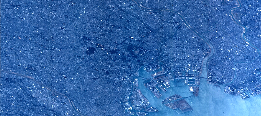
Quicklook
Copyright