TYPE:
SENSOR
LAYER:
DS_PHR1B_201301030137334_FR1_PX_E139N35_1017_00895
FORMAT:
DIMAP
RASTER:
image/jp2
General Information
Map Name
Geometric Processing Level
Radiometric Processing Level
BASIC
Image dimensions
Number of columns
10000
Number of rows
4896
Number of spectral bands
4
Dataset framing
Vertice
Longitude (DEG)
Latitude (DEG)
Row
Col
#1
139.5891885026192
35.74918655507783
1
#2
139.9102527675183
35.78086319355469
#3
139.9112574746823
35.58388912343788
#4
139.5881561446962
35.55126827618222
Dataset sources
PHR
Coordinate Reference System
Projected Coordinate System
Geocoding tables identification
EPSG(6.3)
Production
Production Date
2014-10-22T08:56:00.753
Job identification
IPU_20141022_6544-004
Dataset Producer Identification
Astrium Services / Spot Image
Producer link
http://www.astrium-geo.com
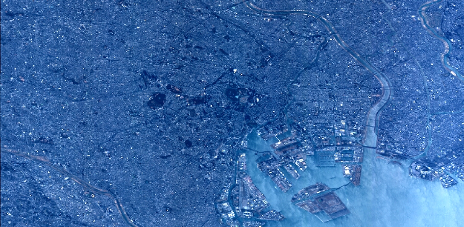
Quicklook
Copyright