TYPE:
SENSOR
LAYER:
DS_PHR1B_201301030137445_FR1_PX_E139N35_1017_00969
FORMAT:
DIMAP
RASTER:
image/jp2
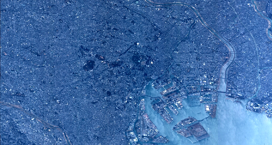
General Information
Map Name
Geometric Processing Level
Radiometric Processing Level
BASIC
Image dimensions
Number of columns
10000
Number of rows
5313
Number of spectral bands
4
Dataset framing
Vertice
Longitude (DEG)
Latitude (DEG)
Row
Col
#1
139.5985837069142
35.75189710867945
1
#2
139.9010806275813
35.77033514105727
#3
139.9018827033432
35.58154011038523
#4
139.597809027533
35.56281063572027
Dataset sources
PHR
Coordinate Reference System
Projected Coordinate System
Geocoding tables identification
EPSG(6.3)
Production
Production Date
2014-10-22T09:02:52.345
Job identification
IPU_20141022_6554-004
Dataset Producer Identification
Astrium Services / Spot Image
Producer link
http://www.astrium-geo.com
Quicklook
Copyright