TYPE:
SENSOR
LAYER:
DS_PHR1B_201301030137564_FR1_PX_E139N35_1017_01121
FORMAT:
DIMAP
RASTER:
image/jp2
General Information
Map Name
Geometric Processing Level
Radiometric Processing Level
BASIC
Image dimensions
Number of columns
10000
Number of rows
6168
Number of spectral bands
4
Dataset framing
Vertice
Longitude (DEG)
Latitude (DEG)
Row
Col
#1
139.6079937822322
35.75790814008146
1
#2
139.892224082142
35.76580340863887
#3
139.892762387318
35.57381981299683
#4
139.6073199397057
35.5657906331047
Dataset sources
PHR
Coordinate Reference System
Projected Coordinate System
Geocoding tables identification
EPSG(6.3)
Production
Production Date
2014-10-22T09:09:05.730
Job identification
IPU_20141022_6565-004
Dataset Producer Identification
Astrium Services / Spot Image
Producer link
http://www.astrium-geo.com
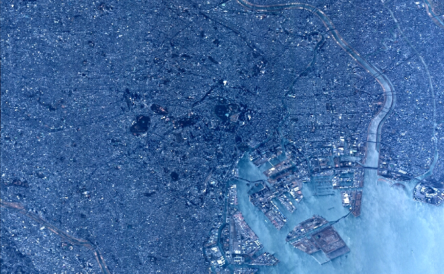
Quicklook
Copyright