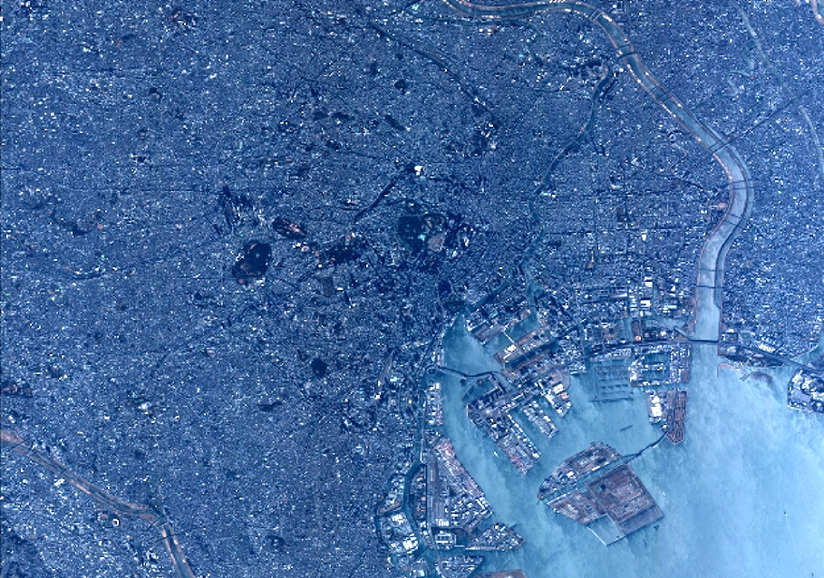
TYPE:
SENSOR
LAYER:
DS_PHR1B_201301030138075_FR1_PX_E139N35_1016_01273
FORMAT:
DIMAP
RASTER:
image/jp2
General Information
Map Name
Geometric Processing Level
Radiometric Processing Level
BASIC
Image dimensions
Number of columns
10000
Number of rows
7024
Number of spectral bands
4
Dataset framing
Vertice
Longitude (DEG)
Latitude (DEG)
Row
Col
#1
139.6156801132118
35.76029485050883
1
#2
139.8845488682793
35.76162046473399
#3
139.8848768644812
35.56753222274845
#4
139.6151672616627
35.56639267428347
Dataset sources
PHR
Coordinate Reference System
Projected Coordinate System
Geocoding tables identification
EPSG(6.3)
Production
Production Date
2014-10-22T09:07:43.865
Job identification
IPU_20141022_6575-004
Dataset Producer Identification
Astrium Services / Spot Image
Producer link
http://www.astrium-geo.com
Quicklook
Copyright