TYPE:
SENSOR
LAYER:
DS_PHR1B_201301030138184_FR1_PX_E139N35_0916_01387
FORMAT:
DIMAP
RASTER:
image/jp2
General Information
Map Name
Geometric Processing Level
Radiometric Processing Level
BASIC
Image dimensions
Number of columns
10000
Number of rows
7665
Number of spectral bands
4
Dataset framing
Vertice
Longitude (DEG)
Latitude (DEG)
Row
Col
#1
139.6222759937074
35.76068103699165
1
#2
139.8779149203311
35.75782560998279
#3
139.8780156571417
35.56808262130171
#4
139.621892923706
35.57139873644263
Dataset sources
PHR
Coordinate Reference System
Projected Coordinate System
Geocoding tables identification
EPSG(6.3)
Production
Production Date
2014-10-22T09:09:39.846
Job identification
IPU_20141022_6584-004
Dataset Producer Identification
Astrium Services / Spot Image
Producer link
http://www.astrium-geo.com
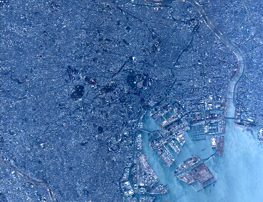
Quicklook
Copyright