TYPE:
SENSOR
LAYER:
DS_PHR1B_201301030139266_FR1_PX_E139N35_0916_01840
FORMAT:
DIMAP
RASTER:
image/jp2
General Information
Map Name
Geometric Processing Level
Radiometric Processing Level
BASIC
Image dimensions
Number of columns
10000
Number of rows
10214
Number of spectral bands
4
Dataset framing
Vertice
Longitude (DEG)
Latitude (DEG)
Row
Col
#1
139.6367017306293
35.75479191587088
1
#2
139.8632359545852
35.75817442095752
#3
139.8629355430925
35.57403390722107
#4
139.6363413275956
35.57214480353615
Dataset sources
PHR
Coordinate Reference System
Projected Coordinate System
Geocoding tables identification
EPSG(6.3)
Production
Production Date
2014-10-22T09:29:40.462
Job identification
IPU_20141022_6633-004
Dataset Producer Identification
Astrium Services / Spot Image
Producer link
http://www.astrium-geo.com
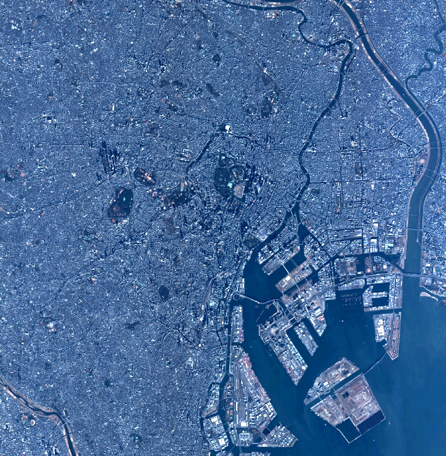
Quicklook
Copyright