TYPE:
SENSOR
LAYER:
DS_PHR1B_201301030139384_FR1_PX_E139N35_0917_01801
FORMAT:
DIMAP
RASTER:
image/jp2
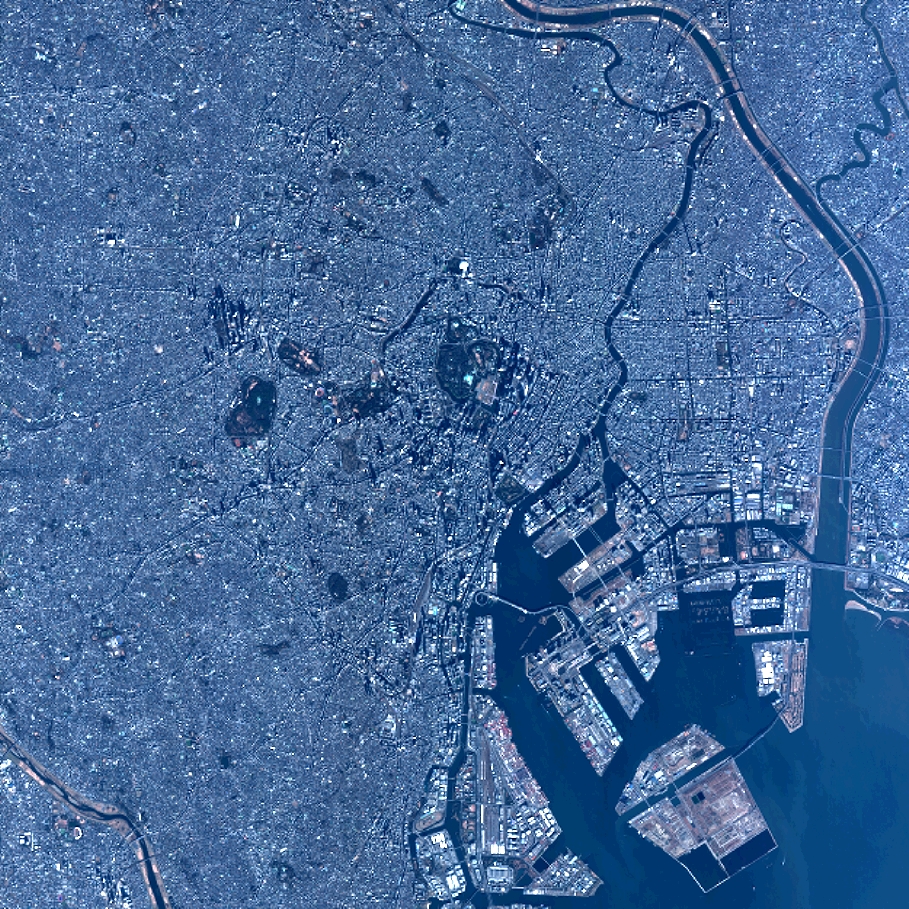
General Information
Map Name
Geometric Processing Level
Radiometric Processing Level
BASIC
Image dimensions
Number of columns
10000
Number of rows
9995
Number of spectral bands
4
Dataset framing
Vertice
Longitude (DEG)
Latitude (DEG)
Row
Col
#1
139.6335298202764
35.75509522847418
1
#2
139.8663500779757
35.76435033900494
#3
139.8660382887002
35.57713223905361
#4
139.6331552817251
35.56959690301346
Dataset sources
PHR
Coordinate Reference System
Projected Coordinate System
Geocoding tables identification
EPSG(6.3)
Production
Production Date
2014-10-22T09:31:31.821
Job identification
IPU_20141022_6639-004
Dataset Producer Identification
Astrium Services / Spot Image
Producer link
http://www.astrium-geo.com
Quicklook
Copyright