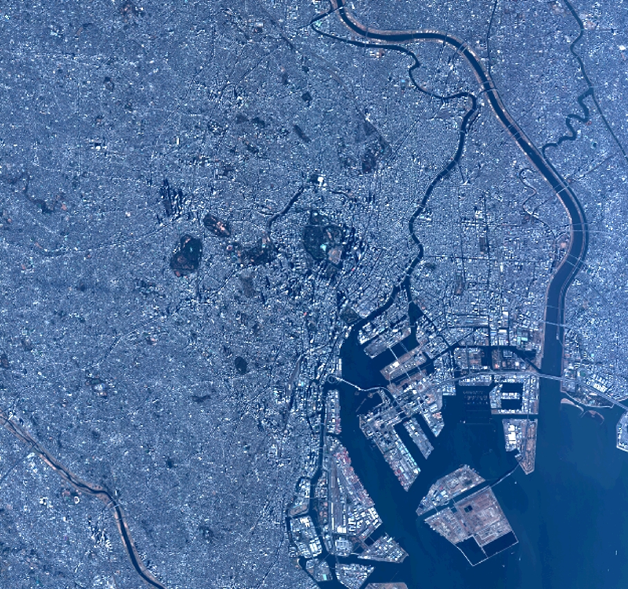
TYPE:
SENSOR
LAYER:
DS_PHR1B_201301030140019_FR1_PX_E139N35_0916_01689
FORMAT:
DIMAP
RASTER:
image/jp2
General Information
Map Name
Geometric Processing Level
Radiometric Processing Level
BASIC
Image dimensions
Number of columns
10000
Number of rows
9365
Number of spectral bands
4
Dataset framing
Vertice
Longitude (DEG)
Latitude (DEG)
Row
Col
#1
139.6222062498727
35.7531130578029
1
#2
139.8776724226478
35.78029269701923
#3
139.8770458582764
35.57713498416379
#4
139.6219155329904
35.55235188429265
Dataset sources
PHR
Coordinate Reference System
Projected Coordinate System
Geocoding tables identification
EPSG(6.3)
Production
Production Date
2014-10-22T09:35:07.625
Job identification
IPU_20141022_6656-004
Dataset Producer Identification
Astrium Services / Spot Image
Producer link
http://www.astrium-geo.com
Quicklook
Copyright