TYPE:
SENSOR
LAYER:
DS_PHR1B_201301030140138_FR1_PX_E139N35_0916_01632
FORMAT:
DIMAP
RASTER:
image/jp2
General Information
Map Name
Geometric Processing Level
Radiometric Processing Level
BASIC
Image dimensions
Number of columns
10000
Number of rows
9044
Number of spectral bands
4
Dataset framing
Vertice
Longitude (DEG)
Latitude (DEG)
Row
Col
#1
139.6140854974877
35.75218953994632
1
#2
139.8857399305941
35.7926154062942
#3
139.8848127426216
35.57574572538787
#4
139.6140581889571
35.5384275016968
Dataset sources
PHR
Coordinate Reference System
Projected Coordinate System
Geocoding tables identification
EPSG(6.3)
Production
Production Date
2014-10-22T09:40:57.213
Job identification
IPU_20141022_6663-004
Dataset Producer Identification
Astrium Services / Spot Image
Producer link
http://www.astrium-geo.com
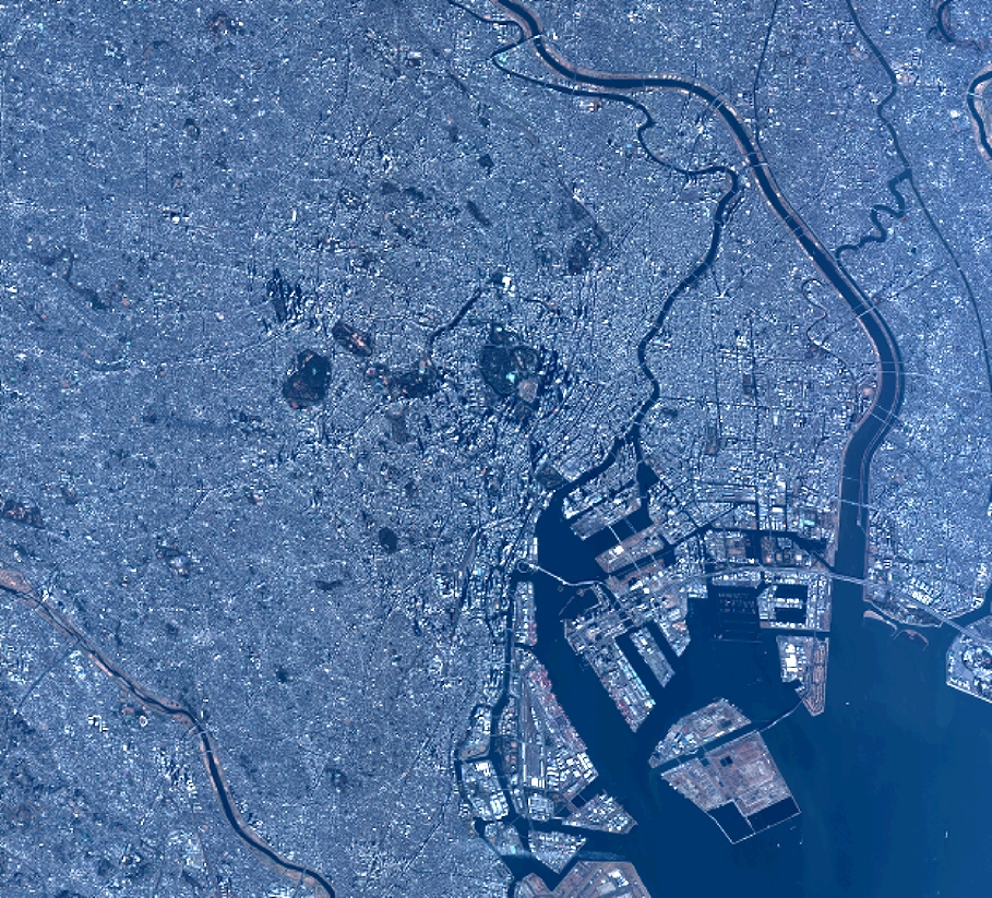
Quicklook
Copyright