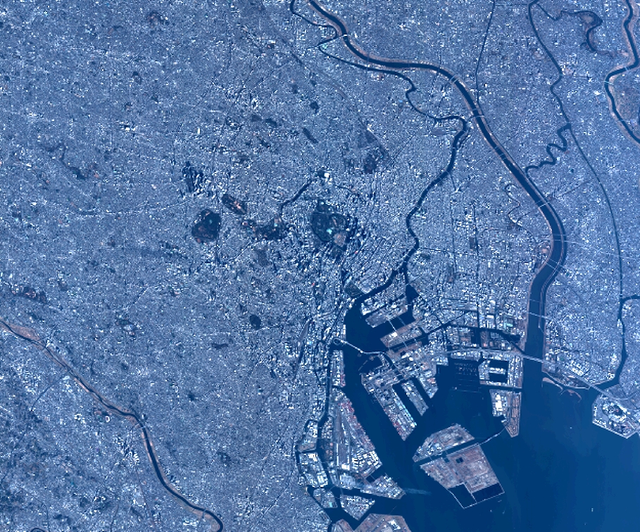
TYPE:
SENSOR
LAYER:
DS_PHR1B_201301030140256_FR1_PX_E139N35_0917_01499
FORMAT:
DIMAP
RASTER:
image/jp2
General Information
Map Name
Geometric Processing Level
Radiometric Processing Level
BASIC
Image dimensions
Number of columns
10000
Number of rows
8295
Number of spectral bands
4
Dataset framing
Vertice
Longitude (DEG)
Latitude (DEG)
Row
Col
#1
139.6045452079246
35.7490896080103
1
#2
139.8952817232842
35.80642635636284
#3
139.8940894019239
35.58413971682656
#4
139.6048550061418
35.53056280063752
Dataset sources
PHR
Coordinate Reference System
Projected Coordinate System
Geocoding tables identification
EPSG(6.3)
Production
Production Date
2014-10-22T09:38:01.003
Job identification
IPU_20141022_6668-004
Dataset Producer Identification
Astrium Services / Spot Image
Producer link
http://www.astrium-geo.com
Quicklook
Copyright