TYPE:
SENSOR
LAYER:
DS_PHR1B_201301030140489_FR1_PX_E139N35_1016_01347
FORMAT:
DIMAP
RASTER:
image/jp2
General Information
Map Name
Geometric Processing Level
Radiometric Processing Level
BASIC
Image dimensions
Number of columns
10000
Number of rows
7440
Number of spectral bands
4
Dataset framing
Vertice
Longitude (DEG)
Latitude (DEG)
Row
Col
#1
139.5835946112404
35.73703207968907
1
#2
139.9195155553423
35.84123001553233
#3
139.9176788241851
35.58935903464415
#4
139.5848179146609
35.49099857090725
Dataset sources
PHR
Coordinate Reference System
Projected Coordinate System
Geocoding tables identification
EPSG(6.3)
Production
Production Date
2014-10-22T09:45:01.687
Job identification
IPU_20141022_6686-004
Dataset Producer Identification
Astrium Services / Spot Image
Producer link
http://www.astrium-geo.com
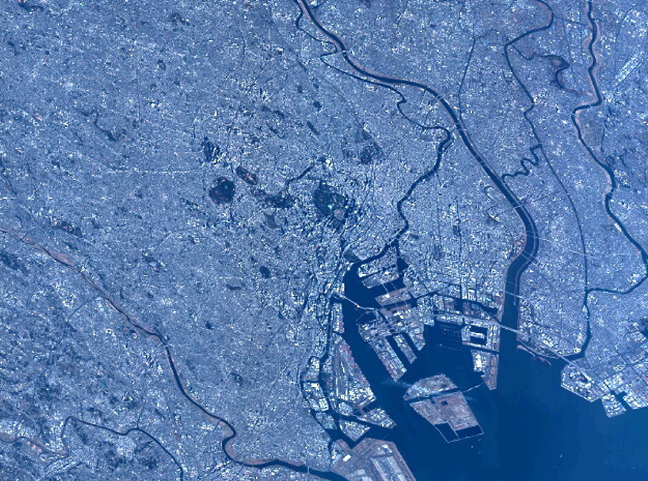
Quicklook
Copyright