TYPE:
SENSOR
LAYER:
DS_PHR1B_201301030141005_FR1_PX_E139N35_1016_01273
FORMAT:
DIMAP
RASTER:
image/jp2
General Information
Map Name
Geometric Processing Level
Radiometric Processing Level
BASIC
Image dimensions
Number of columns
10000
Number of rows
7024
Number of spectral bands
4
Dataset framing
Vertice
Longitude (DEG)
Latitude (DEG)
Row
Col
#1
139.5708419563193
35.7284008877205
1
#2
139.9330472409494
35.8640793824577
#3
139.9306814264371
35.59594029065541
#4
139.5723712917066
35.46733852054871
Dataset sources
PHR
Coordinate Reference System
Projected Coordinate System
Geocoding tables identification
EPSG(6.3)
Production
Production Date
2014-10-22T09:49:14.335
Job identification
IPU_20141022_6693-004
Dataset Producer Identification
Astrium Services / Spot Image
Producer link
http://www.astrium-geo.com
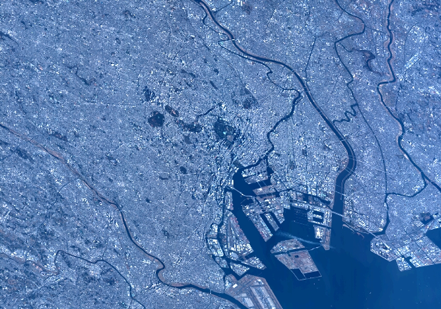
Quicklook
Copyright