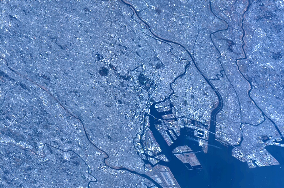
TYPE:
SENSOR
LAYER:
DS_PHR1B_201301030141119_FR1_PX_E139N35_1016_01197
FORMAT:
DIMAP
RASTER:
image/jp2
General Information
Map Name
Geometric Processing Level
Radiometric Processing Level
BASIC
Image dimensions
Number of columns
10000
Number of rows
6596
Number of spectral bands
4
Dataset framing
Vertice
Longitude (DEG)
Latitude (DEG)
Row
Col
#1
139.5571366716272
35.71776865803129
1
#2
139.9476878401712
35.89121754515362
#3
139.944734293369
35.60791637715197
#4
139.5591868559263
35.44351543486498
Dataset sources
PHR
Coordinate Reference System
Projected Coordinate System
Geocoding tables identification
EPSG(6.3)
Production
Production Date
2014-10-22T09:49:04.567
Job identification
IPU_20141022_6706-004
Dataset Producer Identification
Astrium Services / Spot Image
Producer link
http://www.astrium-geo.com
Quicklook
Copyright