TYPE:
SENSOR
LAYER:
DS_PHR1B_201709021035563_FR1_PX_E005N48_1118_00622
FORMAT:
DIMAP
RASTER:
image/tiff
General Information
Map Name
Geometric Processing Level
Radiometric Processing Level
BASIC
Image dimensions
Number of columns
8405
Number of rows
3360
Number of spectral bands
4
Dataset framing
Vertice
Longitude (DEG)
Latitude (DEG)
Row
Col
#1
5.763670746170705
48.74758868025594
1
#2
6.012917784128777
48.75402864402459
#3
6.012656665052892
48.69083921303006
#4
5.763811840681354
48.68390106849915
Dataset sources
PHR
Coordinate Reference System
Projected Coordinate System
Geocoding tables identification
EPSG(6.3)
Production
Production Date
2019-02-18T18:43:07.146
Job identification
3780475101-2
Dataset Producer Identification
AIRBUS DS GEO
Producer link
http://www.geo-airbusds.com
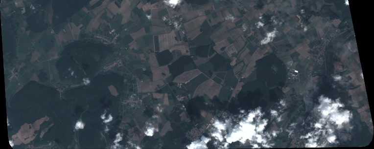
Quicklook
Copyright