TYPE:
SENSOR
LAYER:
DS_PHR1B_201709021036340_FR1_PX_E005N48_1118_00687
FORMAT:
DIMAP
RASTER:
image/tiff
General Information
Map Name
Geometric Processing Level
Radiometric Processing Level
BASIC
Image dimensions
Number of columns
34480
Number of rows
14904
Number of spectral bands
1
Dataset framing
Vertice
Longitude (DEG)
Latitude (DEG)
Row
Col
#1
5.763505640300528
48.75636681435452
#2
6.012650056679359
48.7490235951189
#3
6.012600460386527
48.67774474013375
#4
5.763873133795958
48.68494129413733
Dataset sources
PHR
Coordinate Reference System
Projected Coordinate System
Geocoding tables identification
EPSG(6.3)
Production
Production Date
2019-02-18T18:43:19.489
Job identification
3780475101-1
Dataset Producer Identification
AIRBUS DS GEO
Producer link
http://www.geo-airbusds.com
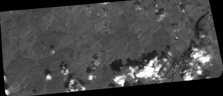
Quicklook
Copyright