TYPE:
SENSOR
LAYER:
DS_PHR1B_201709021035563_FR1_PX_E005N48_1118_00622
FORMAT:
DIMAP
RASTER:
image/tiff
General Information
Map Name
Geometric Processing Level
Radiometric Processing Level
BASIC
Image dimensions
Number of columns
33617
Number of rows
13440
Number of spectral bands
1
Dataset framing
Vertice
Longitude (DEG)
Latitude (DEG)
Row
Col
#1
5.763653187402118
48.74759506541056
#2
6.012900203711615
48.75403449884097
#3
6.012638618597182
48.69083060690173
#4
5.763793467951708
48.6838927456193
Dataset sources
PHR
Coordinate Reference System
Projected Coordinate System
Geocoding tables identification
EPSG(6.3)
Production
Production Date
2019-02-18T18:43:14.547
Job identification
3780475101-1
Dataset Producer Identification
AIRBUS DS GEO
Producer link
http://www.geo-airbusds.com
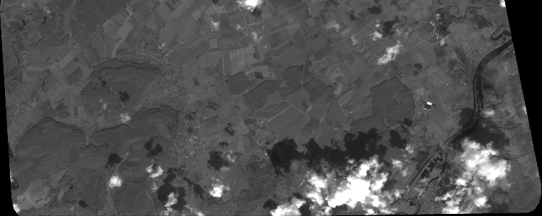
Quicklook
Copyright