TYPE:
SENSOR
LAYER:
DS_PHR1A_201205071041226_FR1_PX_E001N43_0615_01650
FORMAT:
DIMAP
RASTER:
image/jp2
General Information
Map Name
Geometric Processing Level
Radiometric Processing Level
BASIC
Image dimensions
Number of columns
10375
Number of rows
9087
Number of spectral bands
4
Dataset framing
Vertice
Longitude (DEG)
Latitude (DEG)
Row
Col
#1
1.298349765271692
43.67515622273315
1
#2
1.599989590742106
43.67552846097604
#3
1.599263222493812
43.49755867765423
#4
1.299577091521776
43.49477586036438
Dataset sources
PHR
Coordinate Reference System
Projected Coordinate System
Geocoding tables identification
EPSG(6.3)
Production
Production Date
2012-05-29T16:47:22.080
Job identification
IPU_20120529_1513-002
Dataset Producer Identification
Astrium Services / Spot Image
Producer link
http://www.astrium-geo.com/
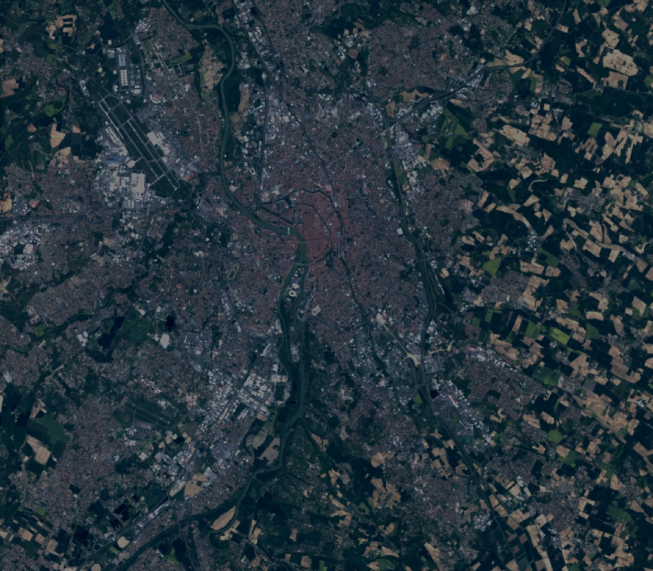
Quicklook
Copyright