TYPE:
SENSOR
LAYER:
DS_PHR1A_201205071041325_FR1_PX_E001N43_0615_01724
FORMAT:
DIMAP
RASTER:
image/jp2
General Information
Map Name
Geometric Processing Level
Radiometric Processing Level
BASIC
Image dimensions
Number of columns
10375
Number of rows
9499
Number of spectral bands
4
Dataset framing
Vertice
Longitude (DEG)
Latitude (DEG)
Row
Col
#1
1.300247332546519
43.68269716721467
1
#2
1.597986519429498
43.67444233479647
#3
1.597393049733196
43.48862697370834
#4
1.301659397324233
43.49448842824707
Dataset sources
PHR
Coordinate Reference System
Projected Coordinate System
Geocoding tables identification
EPSG(6.3)
Production
Production Date
2012-05-29T16:50:47.068
Job identification
IPU_20120529_1521-002
Dataset Producer Identification
Astrium Services / Spot Image
Producer link
http://www.astrium-geo.com/
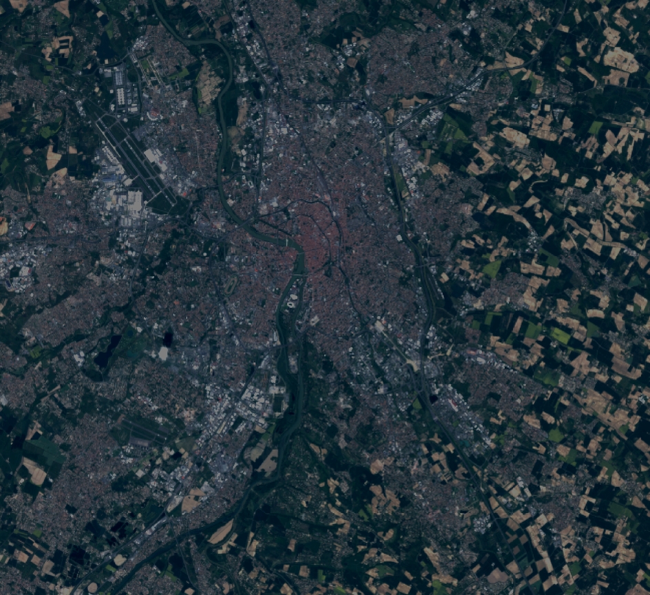
Quicklook
Copyright