TYPE:
SENSOR
LAYER:
DS_PHR1A_201205071041226_FR1_PX_E001N43_0615_01650
FORMAT:
DIMAP
RASTER:
image/jp2
General Information
Map Name
Geometric Processing Level
Radiometric Processing Level
BASIC
Image dimensions
Number of columns
41500
Number of rows
36348
Number of spectral bands
1
Dataset framing
Vertice
Longitude (DEG)
Latitude (DEG)
Row
Col
#1
1.298360584974713
43.67514878635577
#2
1.599999938529845
43.67552109843533
#3
1.599274338256904
43.49755144802647
#4
1.299587863088425
43.4947685382148
Dataset sources
PHR
Coordinate Reference System
Projected Coordinate System
Geocoding tables identification
EPSG(6.3)
Production
Production Date
2012-05-29T16:44:34.373
Job identification
IPU_20120529_1513-001
Dataset Producer Identification
Astrium Services / Spot Image
Producer link
http://www.astrium-geo.com/
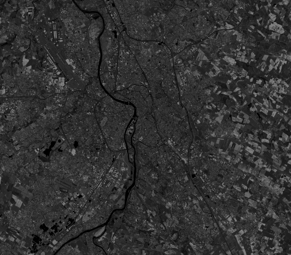
Quicklook
Copyright