TYPE:
SENSOR
LAYER:
DS_PHR1A_201205071041325_FR1_PX_E001N43_0615_01724
FORMAT:
DIMAP
RASTER:
image/jp2
General Information
Map Name
Geometric Processing Level
Radiometric Processing Level
BASIC
Image dimensions
Number of columns
41500
Number of rows
37996
Number of spectral bands
1
Dataset framing
Vertice
Longitude (DEG)
Latitude (DEG)
Row
Col
#1
1.300258433058893
43.68268945760047
#2
1.597996997042392
43.67443470744989
#3
1.597403231179576
43.4886194606113
#4
1.301671099391724
43.49448071301411
Dataset sources
PHR
Coordinate Reference System
Projected Coordinate System
Geocoding tables identification
EPSG(6.3)
Production
Production Date
2012-05-29T16:46:52.340
Job identification
IPU_20120529_1521-001
Dataset Producer Identification
Astrium Services / Spot Image
Producer link
http://www.astrium-geo.com/
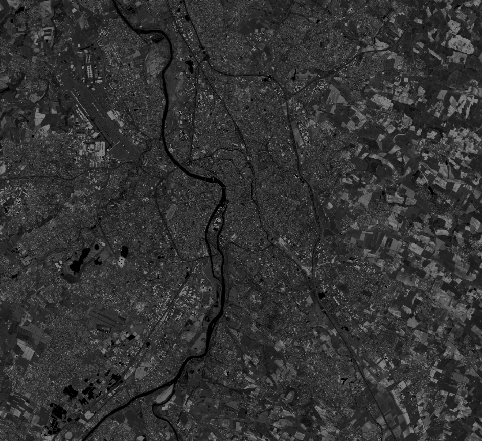
Quicklook
Copyright