TYPE:
SENSOR
LAYER:
DS_PHR1A_201205071041426_FR1_PX_E001N43_0615_01724
FORMAT:
DIMAP
RASTER:
image/jp2
General Information
Map Name
Geometric Processing Level
Radiometric Processing Level
BASIC
Image dimensions
Number of columns
41500
Number of rows
37996
Number of spectral bands
1
Dataset framing
Vertice
Longitude (DEG)
Latitude (DEG)
Row
Col
#1
1.300797658729874
43.68857098455528
#2
1.597405206409141
43.67211115004206
#3
1.596556566561654
43.48314967985272
#4
1.302247969447565
43.49719815438941
Dataset sources
PHR
Coordinate Reference System
Projected Coordinate System
Geocoding tables identification
EPSG(6.3)
Production
Production Date
2012-05-29T16:45:40.151
Job identification
IPU_20120529_1507-001
Dataset Producer Identification
Astrium Services / Spot Image
Producer link
http://www.astrium-geo.com/
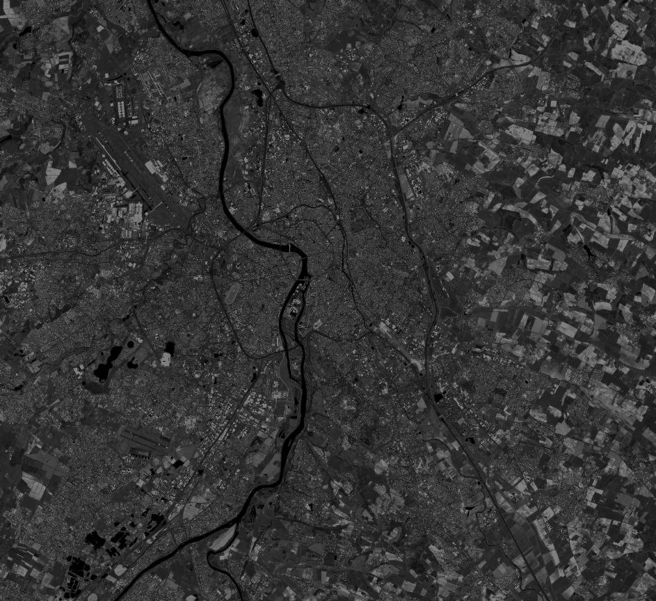
Quicklook
Copyright