TYPE:
SENSOR
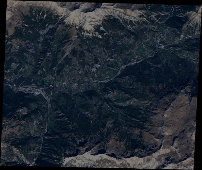
LAYER:
DS_PHR1A_201210051030049_FR1_PX_E006N44_0910_01183
FORMAT:
DIMAP
RASTER:
image/jp2
General Information
Map Name
Geometric Processing Level
Radiometric Processing Level
BASIC
Image dimensions
Number of columns
7627
Number of rows
6403
Number of spectral bands
4
Dataset framing
Vertice
Longitude (DEG)
Latitude (DEG)
Row
Col
#1
6.583976406092222
44.44609580234383
1
#2
6.77473678183773
44.44263603621494
#3
6.774145754599444
44.32399078714926
#4
6.582346725608595
44.32812559462205
Dataset sources
PHR
Coordinate Reference System
Projected Coordinate System
Geocoding tables identification
EPSG(6.3)
Production
Production Date
2012-10-26T16:32:58.277
Job identification
579435101-003
Dataset Producer Identification
SISA
Producer link
http://www.spotimage.fr
Quicklook
Copyright