TYPE:
SENSOR
LAYER:
DS_PHR1A_201210051030049_FR1_PX_E006N44_0910_01183
FORMAT:
DIMAP
RASTER:
image/jp2
General Information
Map Name
Geometric Processing Level
Radiometric Processing Level
BASIC
Image dimensions
Number of columns
30499
Number of rows
25605
Number of spectral bands
1
Dataset framing
Vertice
Longitude (DEG)
Latitude (DEG)
Row
Col
#1
6.584011886682974
44.44608297045049
#2
6.774711548934787
44.44262729657834
#3
6.774126212361534
44.32401035057489
#4
6.582379797638801
44.32814681431033
Dataset sources
PHR
Coordinate Reference System
Projected Coordinate System
Geocoding tables identification
EPSG(6.3)
Production
Production Date
2012-10-26T16:20:39.547
Job identification
579435101-001
Dataset Producer Identification
SISA
Producer link
http://www.spotimage.fr
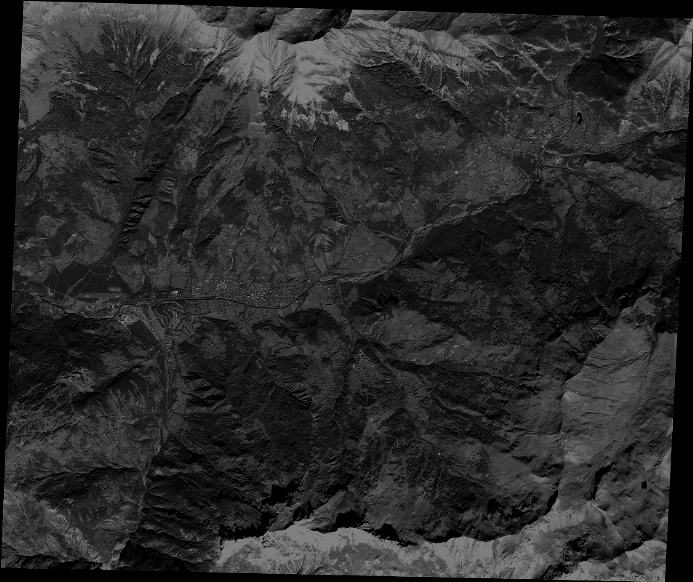
Quicklook
Copyright