TYPE:
SENSOR
LAYER:
DS_PHR1A_201210051029432_FR1_PX_E006N44_0910_01227
FORMAT:
DIMAP
RASTER:
image/jp2
General Information
Map Name
Geometric Processing Level
Radiometric Processing Level
BASIC
Image dimensions
Number of columns
7525
Number of rows
6674
Number of spectral bands
4
Dataset framing
Vertice
Longitude (DEG)
Latitude (DEG)
Row
Col
#1
6.584709242036507
44.44586336747673
1
#2
6.77494168936892
44.44753166146592
#3
6.774149952434086
44.32477170375424
#4
6.582885711197753
44.32217033900388
Dataset sources
PHR
Coordinate Reference System
Projected Coordinate System
Geocoding tables identification
EPSG(6.3)
Production
Production Date
2012-10-26T16:35:45.798
Job identification
579435101-004
Dataset Producer Identification
SISA
Producer link
http://www.spotimage.fr
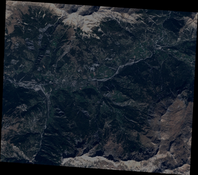
Quicklook
Copyright