TYPE:
SENSOR
LAYER:
DS_PHR1A_201210051029432_FR1_PX_E006N44_0910_01227
FORMAT:
DIMAP
RASTER:
image/jp2
General Information
Map Name
Geometric Processing Level
Radiometric Processing Level
BASIC
Image dimensions
Number of columns
30091
Number of rows
26693
Number of spectral bands
1
Dataset framing
Vertice
Longitude (DEG)
Latitude (DEG)
Row
Col
#1
6.584739961866795
44.44584332459011
#2
6.774916704238549
44.44751157226649
#3
6.774121039077223
44.32476434161719
#4
6.582915822406607
44.32216413729703
Dataset sources
PHR
Coordinate Reference System
Projected Coordinate System
Geocoding tables identification
EPSG(6.3)
Production
Production Date
2012-10-26T16:24:06.045
Job identification
579435101-002
Dataset Producer Identification
SISA
Producer link
http://www.spotimage.fr
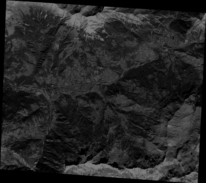
Quicklook
Copyright